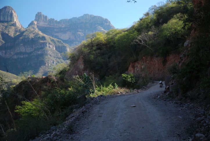
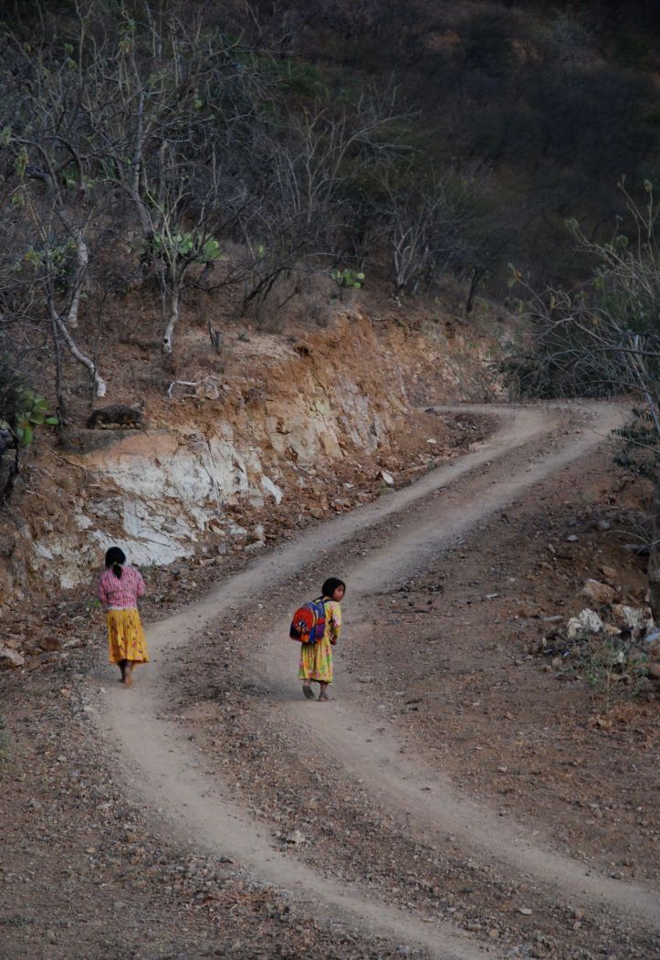
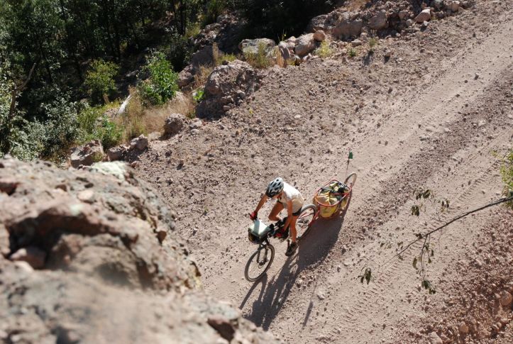
Leaving the tranquil comforts of Entre Amigos in Uriqué saw us making quick progress down the canyon. The road we’d walked now passed at a pleasant speed, and even the hills didn’t feel too bad. Fording the river at Guapalyna (or Guapalina depending on who you talk to) was also fine – calf deep for Sarah and dry for me as a ute turned up and offered a lift at just the right moment. Sadly, the lift didn’t go up the hill…


Our journey has seen us grinding up a lot of hills, and they are the inevitable price to pay for travelling in mountainous country. The daily prospect of a pass to climb in the earlier parts became an expectation, though it didn’t lessen the effort involved. With these, the mind could wander to other things, or as often as not to nothing at all. All very zen and meditative.

The climb out of the Uriqué Canyon is the toughest we’ve done – both physically and mentally. This time every pedal stroke and metre of upward progress required intense concentration. The margins for error in traction and balance were too small for any pondering or musing. Despite this we found the 20ish km until the canyon edge better than we’d been expecting. What information we had found about this stretch had painted it even more bleakly. They’d told of strong, experienced cycle-tourers pushing when they hardly ever did otherwise and comparisons were made to the stamina required for child-birth.


When we started this journey we’d (we thought) sensibly pegged our daily travel at 50-70km depending on the terrain. In Canada/USA we’d found this pretty realistic, and even done much more on roads or between well-spaced water. Getting to Samachiqué and the main Creel-Guacochi road we did 20-30km days and were exultant to have made it that far. The rewards were some of our best lunch and camp spots, and we’re very glad we didn’t cheat using motorised means.


The roads from Samachiqué to Balleza don’t go through quite such spectacular territory. They’re not far off though, and the opportunity to let your mind drift made a welcome return.

Now we’ve got a 40km back-road short cut to the pavement to El Vergel followed by 140km of back-road (via Rosilla etc) to Guanacevi and the pavement to Tepehuanes. This should take about a week, and have us in Durango just before Christmas.